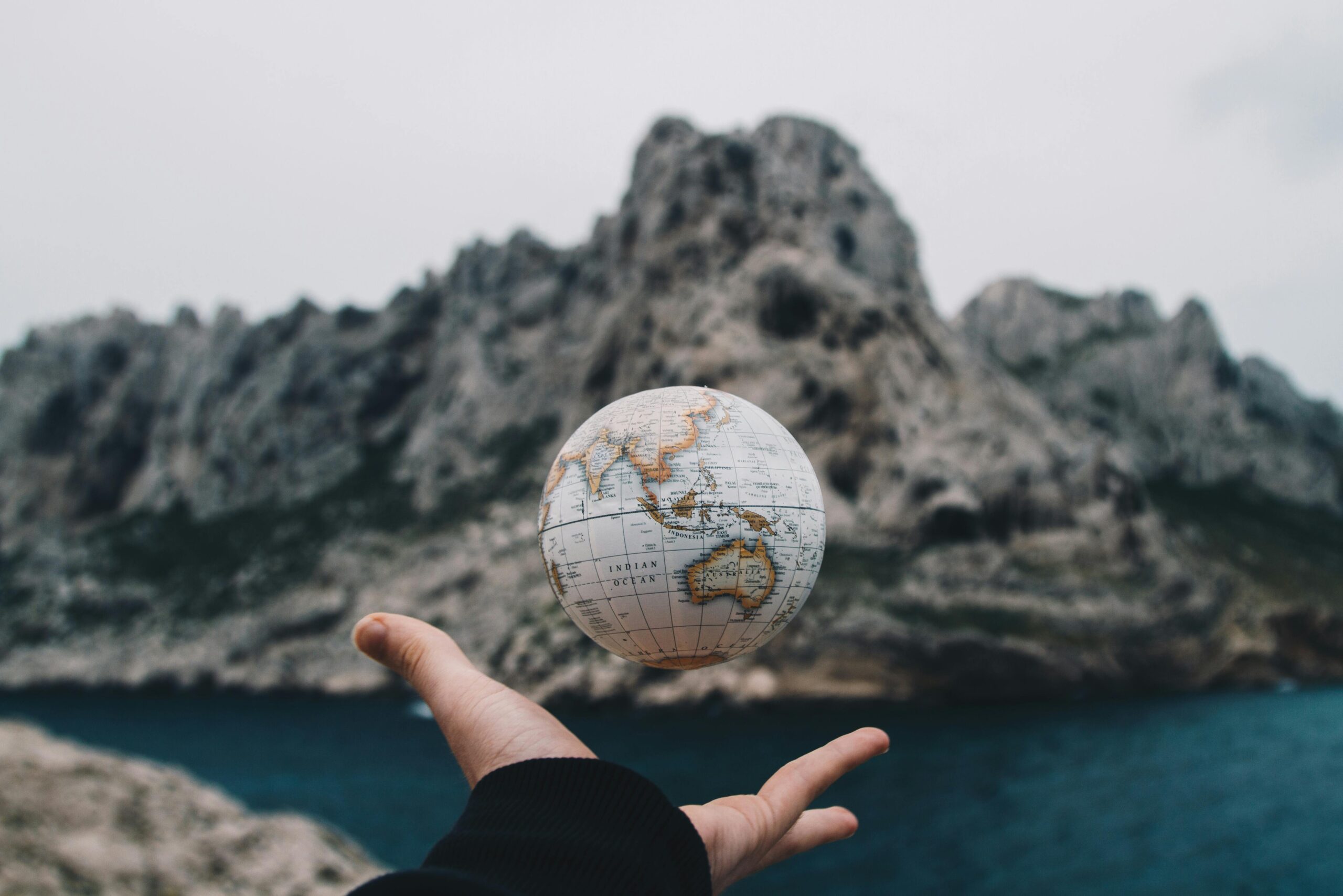
Mapping the world may seem like a completed task in the digital age. Satellite imaging, drones, and GPS technology give the illusion that every inch of Earth is known. Yet, there remain unexplored places shrouded in mystery, inaccessible to modern cartography. These places are difficult to reach, politically restricted, or simply too dangerous to explore thoroughly. From dense rainforests to underwater labyrinths, many parts of the world remain only partially mapped.
Slums in Global Megacities
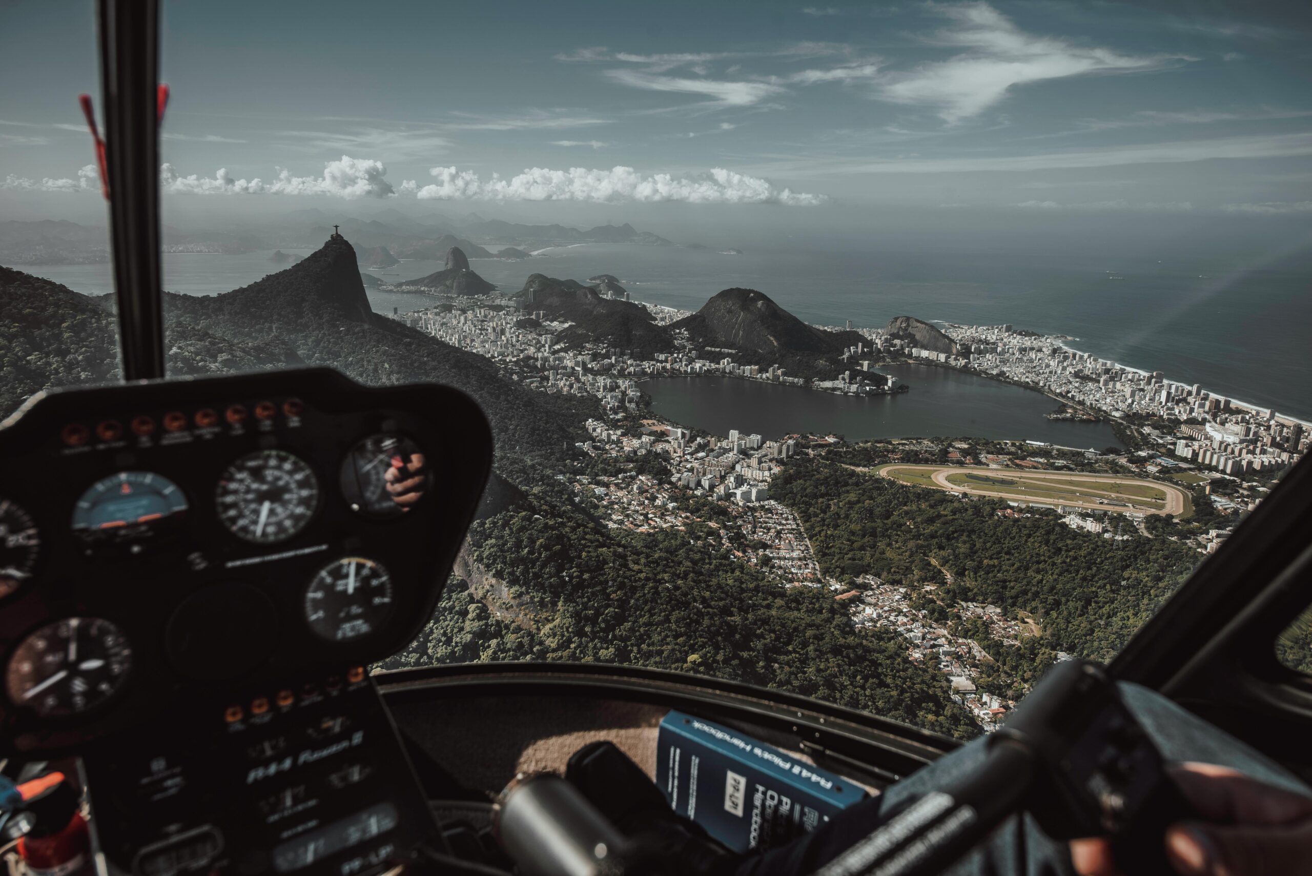
Urban slums in places like Rio de Janeiro, Brazil and Lagos, Nigeria represent another form of uncharted territory. These informal settlements often do not appear on official city maps. With winding alleys, makeshift housing, and constant development without regulation, their layouts are dynamic and complex. According to a 2022 article in the journal Remote Sensing, the absence of mapping hinders infrastructure development, public health planning, and disaster response. Efforts to chart these communities are ongoing, but they often face political, logistical, and technological barriers.
Vale do Javari, Brazil

Deep within the Brazilian Amazon lies Vale do Javari, one of the most isolated and biologically diverse regions on Earth. Spanning about 33,000 square miles, an area roughly the size of Austria, it is home to at least 19 uncontacted tribes. Because of its dense jungle, complex waterways, and the intentional avoidance of external contact, mapping this area is nearly impossible. Tragedy struck in 2022 when British journalist Dom Phillips and Brazilian expert Bruno Pereira were killed while documenting threats to the region, underscoring the dangers that come with trying to protect or chart this fragile area.
North Sentinel Island, India
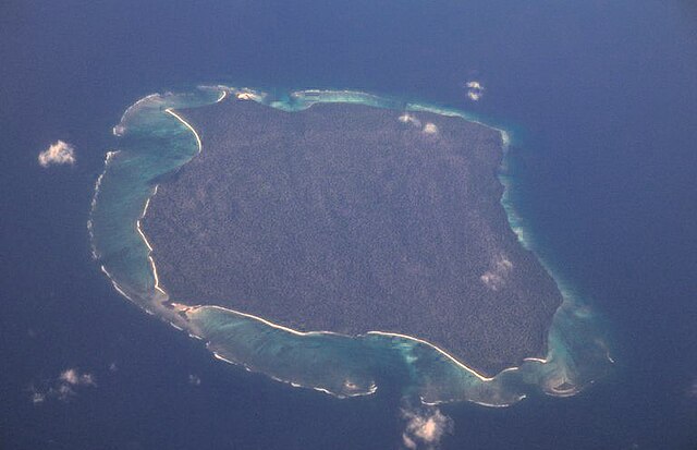
North Sentinel Island is one of the most enigmatic places on Earth. Part of India’s Andaman archipelago, it is home to the Sentinelese, an uncontacted indigenous tribe that resists outside interference. Indian law prohibits anyone from approaching within three nautical miles of the island. The Sentinelese have violently rejected visitors, making detailed mapping of the island virtually impossible. As a result, aside from satellite images, almost no reliable information exists about the island’s interior, its geography, or the full extent of its natural resources.
Sandy Island, South Pacific

Sandy Island was long believed to exist between Australia and New Caledonia, appearing on world maps, nautical charts, and even Google Earth. However, when researchers attempted to study the landmass in 2012, they found nothing but open ocean, making it one of the most unexplored places. The phantom island is thought to be the result of a cartographic error perpetuated over decades.
Cape Melville, Australia
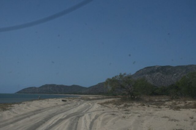
Cape Melville, located in Queensland, Australia, is often described as a lost world. Towering granite boulders surround its rainforest interior, forming natural walls that have historically prevented access. These geological barriers protect a unique ecosystem, including species found nowhere else on Earth. Because of this inaccessibility, Cape Melville remained largely uncharted until modern helicopter surveys and drone technology allowed for partial exploration.
Yucatan Cenotes, Mexico
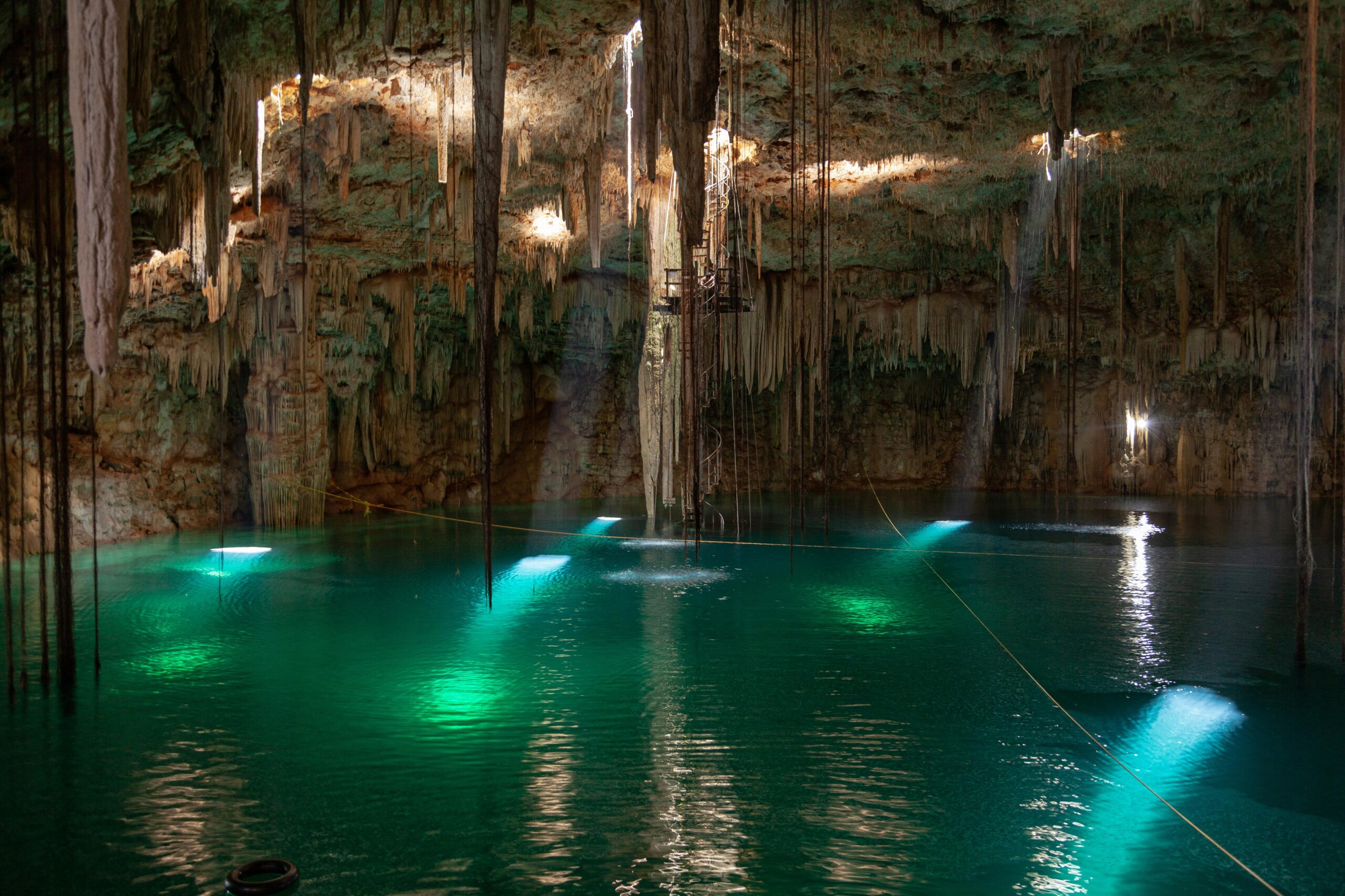
The Yucatán Peninsula in Mexico hides an enormous network of underground rivers and cave systems known as cenotes. Stretching thousands of kilometers, many parts of this system remain unexplored. Used by ancient Mayans for ritual purposes, these cenotes are difficult to access and dangerous to navigate. The aquifers support 11 unique ecosystems and provide water to millions, yet their full extent remains a mystery hidden beneath the earth’s surface.
Northern Forest Complex, Myanmar

Myanmar’s Northern Forest Complex contains some of Southeast Asia’s last remaining pristine forests. Political unrest and economic sanctions once helped preserve the area by limiting development. However, in recent years, logging and infrastructure projects have begun encroaching on the forest. Mapping the damage is difficult, as few roads penetrate the dense jungle and governmental restrictions limit scientific access. This lack of mapping threatens not only the forest itself but also the survival of endangered species like the red panda and the white-bellied heron.
Gangkhar Puensum, Bhutan
Gangkhar Puensum, a 24,836-foot peak in Bhutan, is considered the highest unclimbed mountain in the world, making it one of the most unexplored places. Its inaccessibility is not due to topography alone, but also to spiritual restrictions. Bhutanese law forbids climbing peaks higher than 6,000 meters out of respect for local spiritual beliefs. Locals believe that divine beings inhabit the mountains, making them sacred. Consequently, despite interest from climbers worldwide, the mountain remains both unclimbed and unmapped in detail. Any existing data is largely speculative or derived from distant satellite imagery.
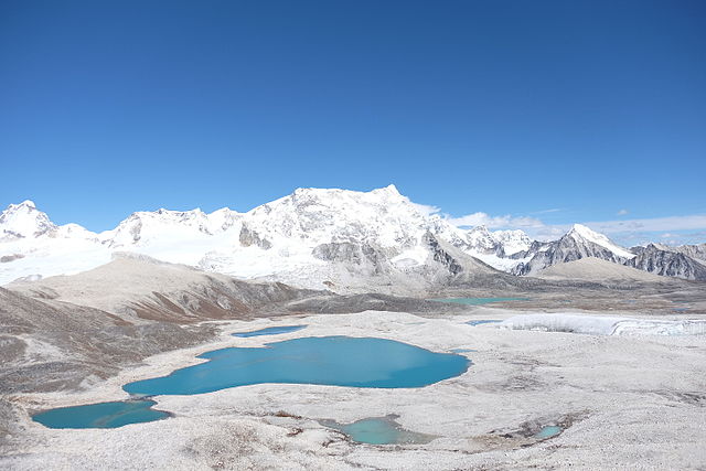
Patagonia, Argentina, and Chile
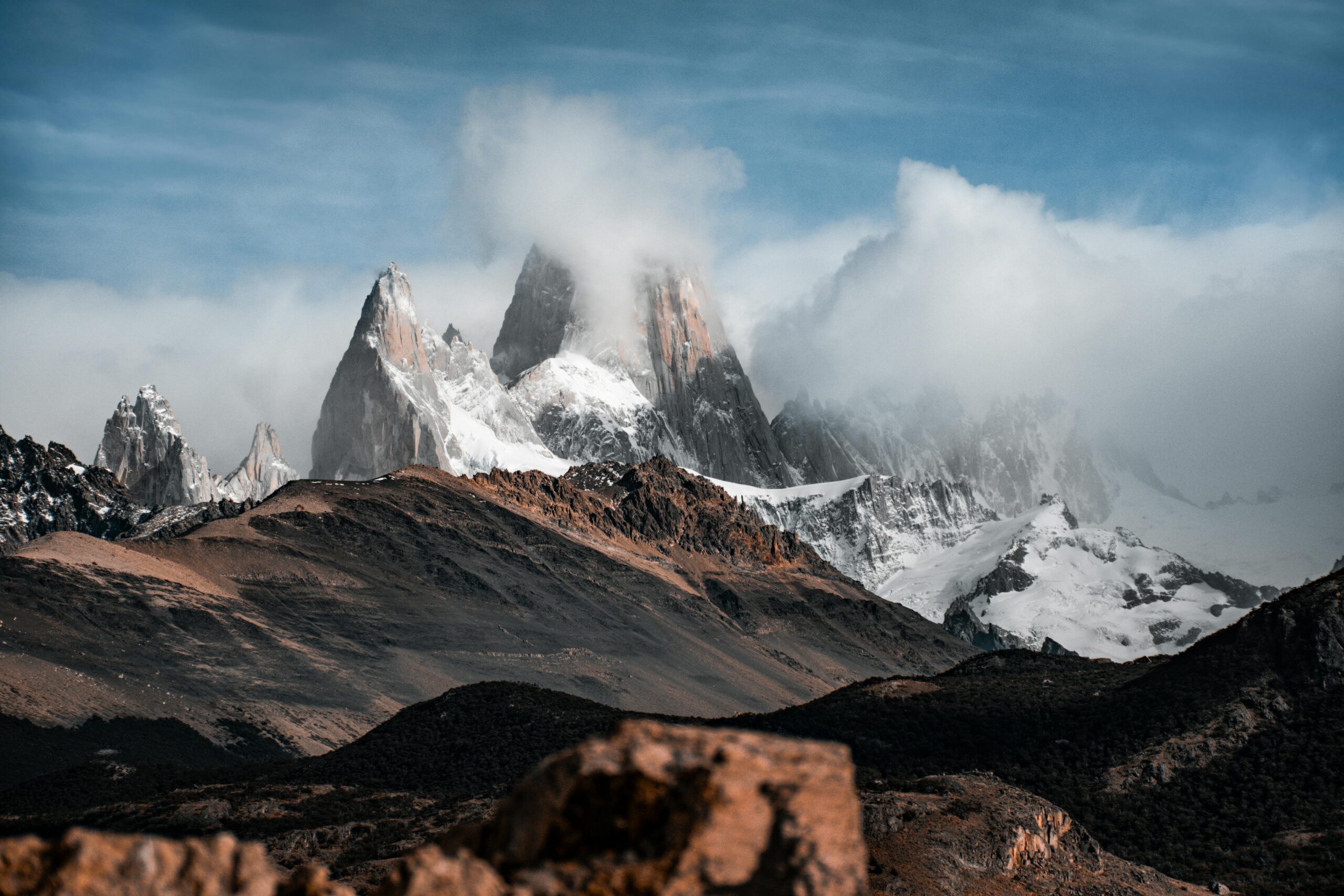
The southern tip of South America is home to Patagonia, a region defined by its jagged mountains, glacial fields, and windswept plains. Spanning both Argentina and Chile, Patagonia stretches nearly to the South Pole. Large portions remain unmapped due to extreme weather conditions and rugged terrain. Ice fields in particular make charting this region hazardous. According to Geospatial World, mapping here requires specialized equipment and expertise, and progress is slow. With many areas still unexplored, Patagonia continues to be one of the last great wildernesses on Earth.
Coastal Landscapes Affected by Climate Change
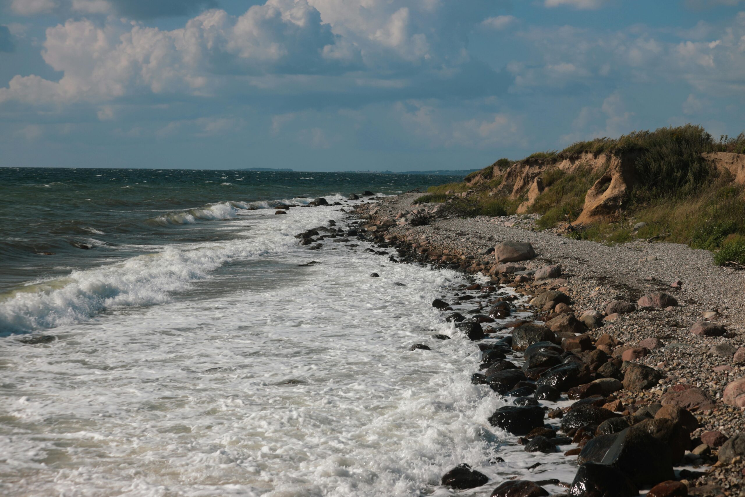
Rising sea levels, intensified storms, and coastal erosion are constantly reshaping the world’s shorelines. These dynamic environmental changes make it difficult for cartographers to maintain accurate and up-to-date coastal maps. Islands are shrinking, beaches are disappearing, and new inlets are forming. Even cities with advanced mapping infrastructure struggle to keep pace with the shifting coastlines. These changes not only affect geography but also impact legal borders, maritime navigation, and human settlement patterns.
The Ocean Floor
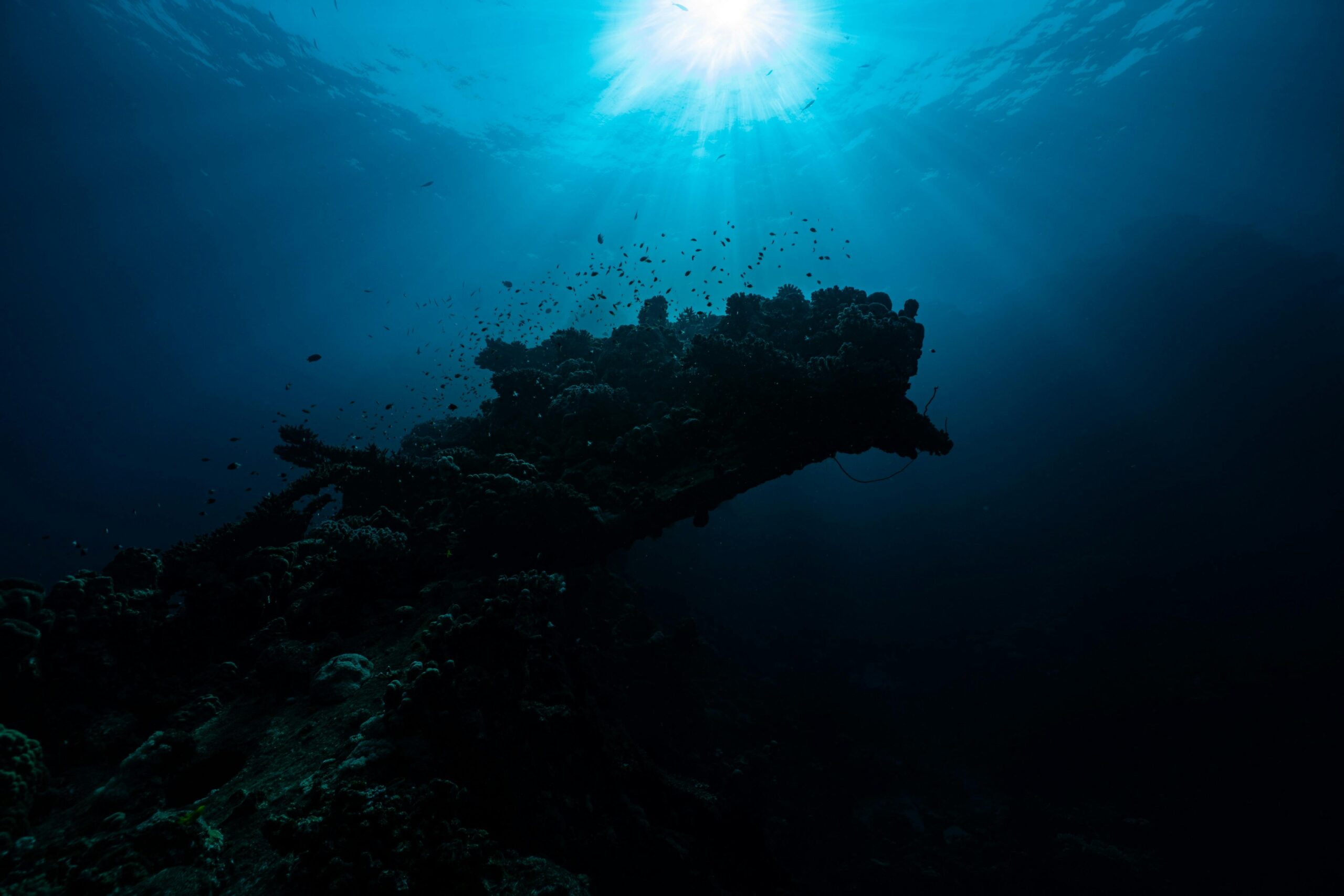
Covering over 70 percent of Earth’s surface, the ocean floor remains one of the most unexplored places of our planet. Although sonar and satellite data have provided a basic outline, only about 23 percent of the ocean floor has been mapped in high resolution, according to NOAA. In contrast, we have more detailed maps of the Moon and Mars. The challenge lies in the sheer volume of water, which interferes with signal transmission and visibility. Mapping efforts are improving with advances in technology, but full exploration may take decades or longer.
The World is Fascinating
Despite our advances in technology, large parts of our world remain unexplored, and misunderstood. These locations are more than just blank spaces on a chart. , being cultural sanctuaries, and ecological frontiers. Hidden beneath rainforest canopies, guarded by ancient tribes, or submerged under vast oceans, there is much we know very little about.